Ski tour Schönkahler
Environmentally friendly ski tour in the Allgäu near the Explorer Hotel Neuschwanstein
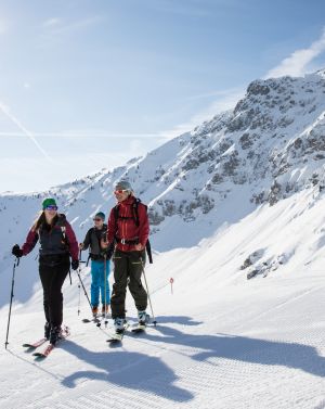
This moderately difficult ski tour is especially suitable for beginners or snowshoe hikers. It's one of the most popular routes in the Allgäu Alps! So you should definitely try it during your stay at the Explorer Hotel Neuschwanstein.
Wir übernehmen keine Haftung für die Richtigkeit, Vollständigkeit oder Aktualität der wiedergegebenen Informationen. Wir empfehlen die Mitnahme einer zusätzlichen Karte.
Vor dem Start der Tour sind die örtlichen Gegebenheiten wie Pistensperrungen, Lawinensituation und weitere Faktoren zu beachten.
Zur Ausrüstung gehört eine Skitourenausrüstung mit LVS-Gerät, Lawinenschaufel und Lawinensonde.
Die Tour führt teilweise durch Wald und Gelände, bitte beachte die DSV Umweltregeln sowie die Verhaltenshinweise des DAV.
Jan.
Feb.
März
April
Mai
Juni
Juli
Aug.
Sep.
Okt.
Nov.
Dez.
mittlerelage
Das könnte Dich auch interessieren
×


